
Madison Township ZIP Code Coverage
ZIP Codes are delivery routes, not Madison Township boundaries. The official research confirms two primary postal associations: 43110 for Canal Winchester and 43125 for Groveport. It also identifies 43232 on Madison Township and Columbus-edge parcel references, but no authoritative township-wide postal polygon was found. The useful result is a careful ZIP code directory, not a made-up complete list. The Township includes overlapping municipal and service areas, so the City/Village and Township fields on the county property profile matter as much as the mailing label.
| ZIP Code | Areas Covered | Post Office | Records Note |
|---|---|---|---|
| 43110 | Canal Winchester postal area, a principal community identified in township history | Canal Winchester Post Office | Compare parcel City/Village and Township fields before choosing a permit custodian. |
| 43125 | Groveport postal area; verified on a Madison Township Tax District 180 property profile | Groveport station association | A Groveport mailing label does not by itself establish incorporated or unincorporated jurisdiction. |
| 43232 | Madison Township and Columbus-edge parcel references | Columbus postal area | Address-specific only. Confirm the full address with USPS before treating it as a Township ZIP. |
| Other boundary ZIPs | Possible Columbus, Obetz, or unincorporated edge context | Verify with USPS | No official consolidated coverage map was located for a complete list. |
The USPS location page for the Canal Winchester postal area is the concrete check behind the 43110 association. It does not decide property jurisdiction. A postal designation can remain stable even when an address belongs to a different municipal record system.
See the USPS Canal Winchester location record before relying on a post-office association.
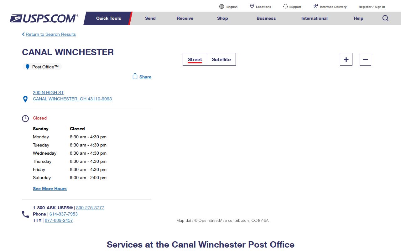
The station information supports postal context for 43110, while a full address remains the only sound way to settle the ZIP for a specific delivery point.
Verify Each Madison Township ZIP Code
A full-address USPS query is the first safeguard for a Madison Township ZIP code search. The researched sources deliberately do not treat nearby codes such as 43207, 43217, or 43137 as township-wide coverage. That restraint matters at the edges of Columbus and Obetz, and wherever a rural route or municipal label has changed over time. Enter the complete delivery address, record the result, and keep it separate from the parcel's legal description. A legal description is for land records, not mail delivery.
Use the USPS ZIP Code Lookup to check the delivery address before opening county records.
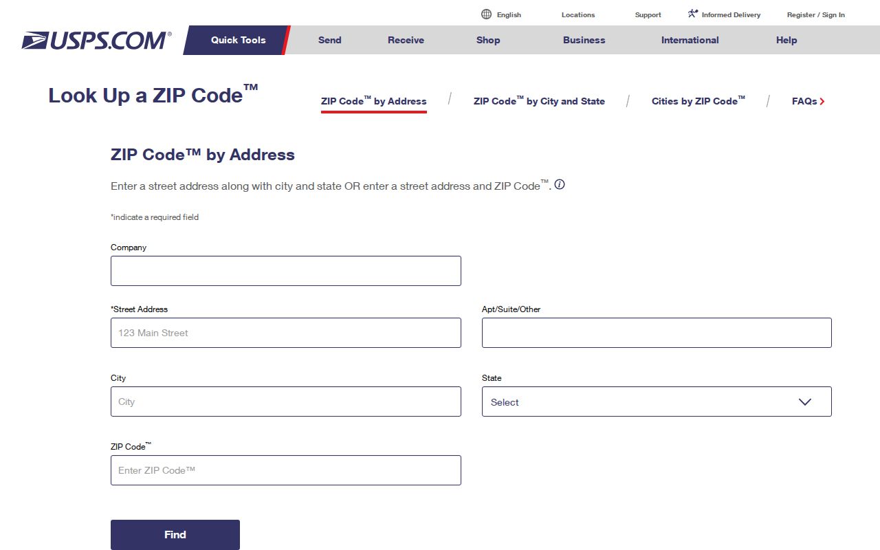
The lookup establishes the postal code for one address. It does not create a ZIP-wide list of people, properties, or municipal files.
Note: Retain the complete address and result date when comparing a postal record with a historic directory or deed.
Find Records Within a Madison Township ZIP Code
Franklin County's public tools do not offer the shortcut many people expect. The Auditor Address, Owner, and Parcel ID forms have no dedicated ZIP control, and Recorder Cloud Search has no ZIP field in either Quick or Advanced Search. The voter lookup requires a known person's name, birth year, and house number, rather than a ZIP browse. A ZIP code directory therefore narrows an address, then the property and document systems supply the usable record trail.
- Confirm the full mailing address with USPS and note the resulting ZIP Code.
- Run that address in the Franklin County Auditor Address Search, omitting the street suffix from the Street Name field.
- Read the profile's site address, ZIP Code, Township, City/Village, tax district, parcel ID, and legal description together.
- Use the Franklin County Auditor Parcel Viewer to see the parcel's location and map context.
- For a recorded interest, use Franklin County Recorder Cloud Search with party, date, or legal-description terms.
Once the ZIP has narrowed the address, the Madison Township by-street directory has the fuller address and parcel workflow. A county voter search can confirm a known individual only when its required identifying fields are already available; it is not a ZIP roster.
Madison Township ZIP Code Property Fields
The Auditor address form is the local way to move from a confirmed postal address to the parcel profile that displays a ZIP field. It accepts a whole-street wildcard, but a result still needs to be read one property at a time. The portal instructs searchers to omit suffixes such as Road or Avenue. For example, it documents the pattern 373, S, High instead of adding “St.” The same screen permits *High for streets with High in the name and S *High to narrow to South High.
| Address Search Field | Format or Use |
|---|---|
| Street No | Enter the house number when known. |
| Direction | Blank, E, N, NE, NW, S, SW, or W. |
| Street Name Only | Required search criterion; omit suffixes and use * for a spelling or group match. |
| Unit | Use when the address has a unit. |
| Results/page | Dynamic choice; broad queries can return up to 500 results. |
After a match, distinguish the site/property address from the owner's mailing/contact address. The profile can also show transfer data, tax district, legal description, and the property ZIP Code. Those fields answer different questions and should not be blended into a claim about present occupants.
Madison Township ZIP Code Geography
Madison Township is a Franklin County subdivision, not one incorporated city. The Census listing identifies the Township as county-subdivision code 46410 and records 25,945 residents in the 2020 geography. Township material describes 40.6 square miles and names Canal Winchester, Groveport, and Obetz, while service descriptions also reach parts of Columbus, Lithopolis, and Pickerington. These overlapping descriptions explain why a postal city and a government custodian can differ without either being wrong.
Review the Census county-subdivision geography listing when a record uses Madison Township rather than a postal city.
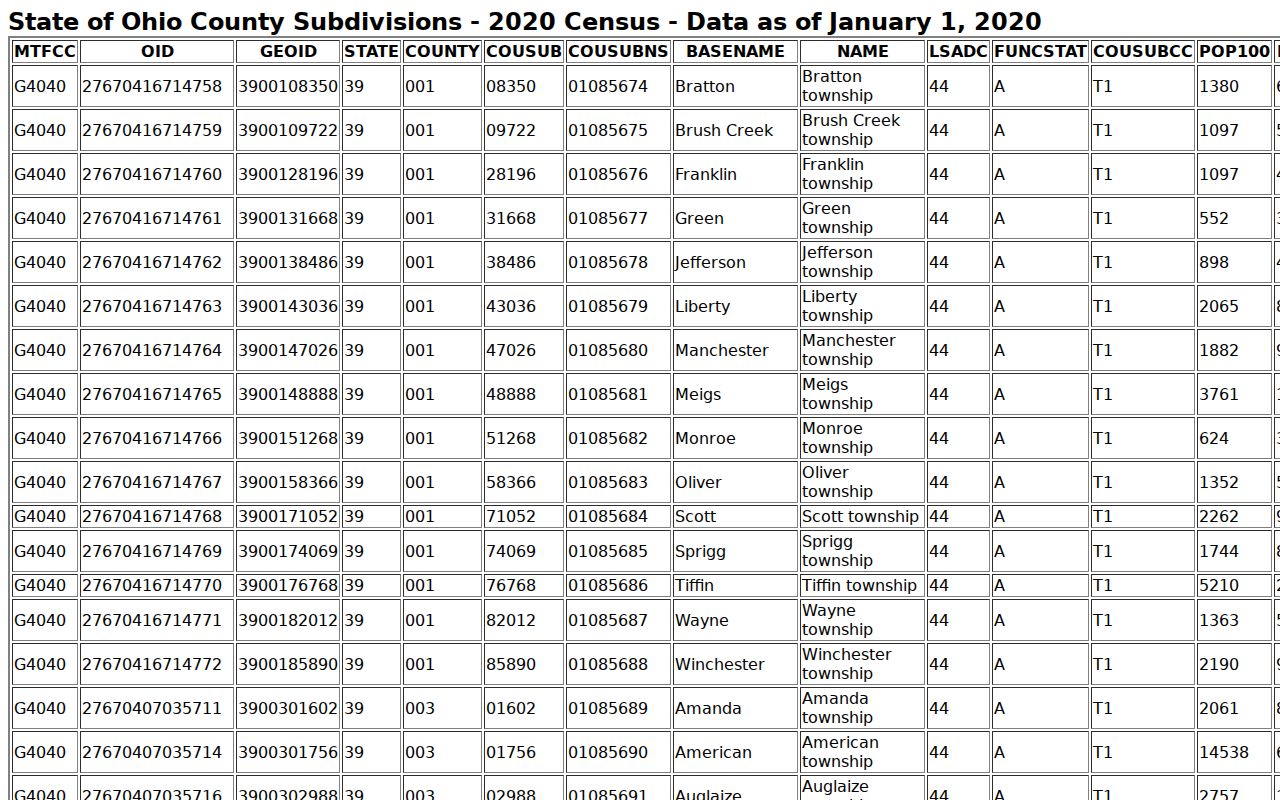
The Census geography supplies scale and naming context. It is not a USPS delivery-boundary map and should not replace address-level postal verification.
Madison Township ZIP Code Jurisdiction
Postal data cannot decide which office has a permit, zoning, code, police, or township administrative record. Madison Township says it does not issue zoning or building permits for its unincorporated territory, directing those matters to Franklin County Economic Development and Planning. It directs Groveport and Canal Winchester addresses to their city departments. The county building information adds that Groveport and Obetz issue both zoning compliance and building permits. Check the situs jurisdiction at the date of the record, not just the ZIP code on a letter.
The Madison Township administration overview illustrates the public-service geography behind these overlapping labels.
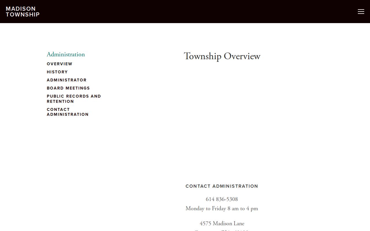
Township service context may span more than one postal or municipal name, so it should be paired with the actual parcel profile.
The Township zoning and permits page provides the stated county and city routing distinction.
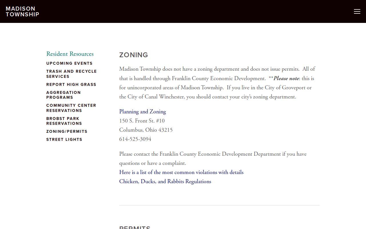
The permit routing is an office-custody check. It does not identify who lives at an address or establish a past household.
Madison Township ZIP Code Terms
Postal and land-record terms work together but are not interchangeable. Use the ZIP Code to validate a delivery address, the parcel ID to reach the county property file, and the legal description to carry an older land trail across changing place names. This is especially useful where postwar subdivisions replaced farm descriptions and older material refers to a village, pike, canal, depot, post office, or rural delivery route.
- ZIP Code and ZIP+4
- A ZIP Code identifies a postal delivery area. ZIP+4 adds a more specific delivery segment, but it does not set government boundaries.
- PO-box ZIP
- A postal code assigned for post-office boxes. It is not proof of the physical location of a parcel or household.
- Unique ZIP
- A ZIP used for a single organization or delivery arrangement. None was verified as a Madison Township-wide record-search category.
- Carrier route
- A delivery route used by postal operations. It is not a property, title, or municipal-jurisdiction field.
- Parcel ID
- The Auditor's property-record identifier, useful when an old address no longer matches modern numbering.
Note: If a property record and postal result conflict, contact the responsible county office or USPS channel rather than choosing one field as conclusive.
Madison Township ZIP Code Results Need Review
The Auditor displayed a maintenance and slow-response notice when the research was inspected on August 30, 2026. An empty, delayed, or broad result can be a search problem rather than proof that a parcel is absent. The address and parcel screens warn that broad queries may return as many as 500 results. Narrow with the house number, exact direction, parcel identifier, or a known legal-description term before comparing one result with historical material. Retry a narrow search, use the parcel ID when available, and ask the Auditor's Real Estate Division to resolve a discrepancy. The Recorder likewise offers index and full-text search paths, but neither turns a ZIP code into a title conclusion. Use each result as a record lead, then verify it with the office that holds it.
See the Franklin County address and precinct-data resource for an example of county election geography that remains distinct from a postal ZIP.
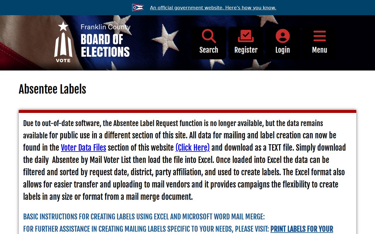
Election and postal boundaries serve different functions. Keep a ZIP verification, property profile, and election record in their own proper context.