
Madison Township Neighbors by Block Source
Public sources answer different block questions. The Franklin County Parcel Viewer locates parcels near a focal address, the Auditor profile supplies property fields for one selected parcel, and the Recorder gives the recorded-document trail. None of those systems is a public list of everyone on a block. Start narrowly with the property at issue, then use the next official record only when it answers a specific question.
| Block source | What it shows about a block | Access and limit |
|---|---|---|
| Parcel Viewer By Spatial | Parcel geometries wholly or partly inside a chosen distance | Find a focal parcel first, enter a distance, apply the buffer, and choose a selection rule. |
| Parcel Viewer By Shape and Identify | A drawn area and links to property detail | Map and parcel information, not household presence. |
| Auditor parcel profile | Owner field, separate mailing and site fields, tax, transfer, and property data | Review one parcel at a time and verify the county’s current-data notice. |
| Recorder document search | Recorded parties and documents connected by name, date, or legal description | Index by record fields, not a presumed neighbor list. |
| Franklin County voter form | A matched voter result for a known person | Requires identity and house-number inputs; it has no block browsing. |
| Township public-records channel | Releasable township-created location material | Make a focused request under R.C. 149.43; exemptions and redactions apply. |
For a street-long property trail rather than an immediate block question, the Madison Township street directory uses the Auditor and Recorder records in a different, address-by-address sequence.
Map Madison Township Neighbors by Parcel
The official adjacent-parcel method begins with a focal parcel, not a person’s name. Search the Franklin County Parcel Viewer by value or shape to identify that parcel. Then use the By Spatial tool, enter a distance, select Apply Buffer, and choose parcels entirely within or partly within the buffer. Results can be inspected through the map’s Results tab and its Identify tool, which links a selected parcel back to property detail.
This is a controlled way to understand the physical parcels around an address. The viewer can export selected results to CSV, but that capability does not create a public block-resident directory. Keep the scope immediate, review individual records, and do not circulate a bulk extract as a list of Madison Township neighbors.
- Find the focal property with Auditor address or parcel-ID search and record only its parcel ID, site address, legal description, tax district, and jurisdiction details.
- Open it in Parcel Viewer, then use By Spatial to enter the chosen distance and apply the buffer.
- Select parcels wholly or partly within that buffer, inspect the Results tab, and use Identify to reach a particular property profile.
- Compare the profile’s site address, owner mailing/contact address, City/Village field, and transfer information before linking the parcel to a Recorder document.
Note: A buffer measures nearby parcels; it does not establish who is physically present at any address.
Read Madison Township Neighbor Property Fields
The Franklin County Auditor Property Search is the record to open after map selection. Its profiles can display the parcel ID, map routing, Township, City/Village, tax district, ZIP Code, owner, mailing/contact address, site address, legal description, most recent transfer, and property details. The profile also offers a link back to Parcel Viewer, which helps check that a result belongs to the parcel selected on the map.
The site address is the physical property location. The owner mailing or contact address is correspondence information. They may differ. An ownership field can also name an entity, trust, estate, remote recipient, or a party whose record needs updating. For Madison Township neighbors, those differences are not technical fine print. They are the reason a parcel result should not be converted into a claim about a present household.
- Parcel ID
- The Auditor’s identifying number for a county property record.
- Site address
- The physical location associated with the parcel profile.
- Mailing/contact address
- The address used for owner correspondence, which can differ from the site.
- Legal description
- The recorded lot, subdivision, or land description that can bridge a parcel to a deed.
Confirm Known Madison Township Neighbors Carefully
The local Franklin County voter lookup is person-specific. It requires first name, last name, birth year, house number, and a bot check. It is useful only after legitimate matching information is already known. It has no street or ZIP browse mode, so it cannot be used to produce a list of voters near an address.
Ohio law makes selected voter-record information public while excluding telephone, email, Social Security, driver or state ID, Safe at Home, and other protected information. The voter record does not show ballot choices. When a result does not match the known person and address, stop rather than filling gaps with assumptions from parcel data.
The Franklin County Board of Elections is the official county access point for voter-record questions.
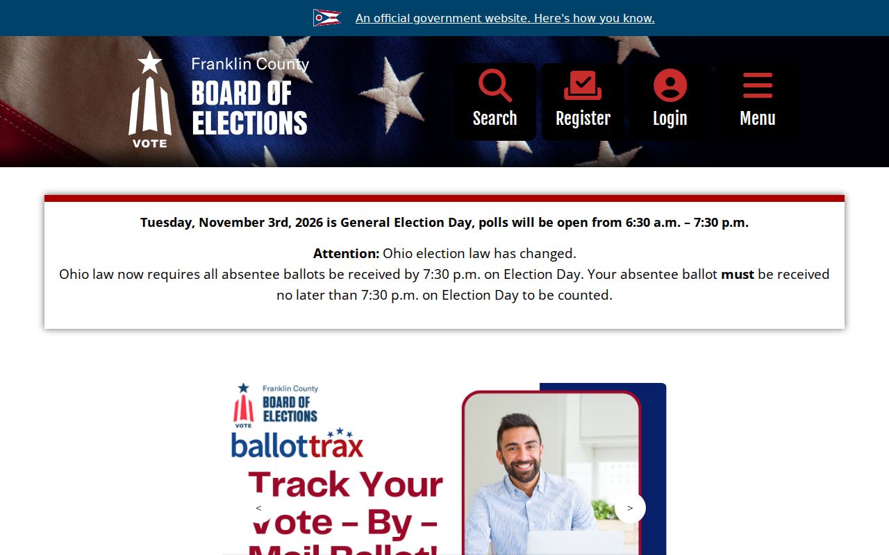
The Board’s official resources support a careful, known-person confirmation path rather than a block-wide search.
Connect Madison Township Neighbors to Deeds
A selected parcel can be connected to a recorded document through the Franklin County Recorder Official Records Cloud Search. Use the party role, recorded date, document type or number, book/volume/page, and legal-description fields supplied by the parcel and transfer record. A grantor transfers an interest and a grantee receives one. Those document roles establish a recorded transaction, not a current-residency finding.
Recorder Cloud Search also offers a free Property Alert feature for an owner or entity to receive email when selected name, keyword, or document activity appears in real-property filings. The Recorder says the alert is not complete and does not prevent recording, so it is not title assurance. Its value is a prompt to inspect the official filing when a notice appears.
The Recorder’s Property Alert page is shown below as the official alert route for a selected property or entity.
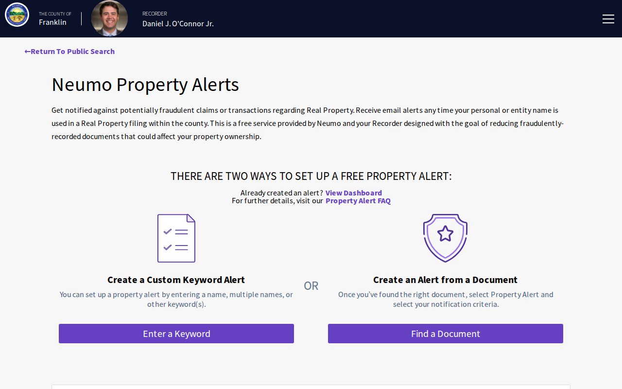
A recorded document should be compared with the parcel legal description and date before drawing a conclusion about land ownership history.
Madison Township Neighbor Community Sources
No verified township-wide HOA directory was located in the inspected official sources. There is also no verified formal neighborhood-association membership directory to add to a block table. Madison Township’s official resources support public meetings, administration, parks, and township services, but they do not publish private member rosters. Public civic or nonprofit contacts can be used only when the named organization openly publishes them, and they should remain separate from parcel records.
The Canal Winchester Area Historical Society preserves and inventories historical records, data, and property connected to Canal Winchester and surrounding farm, canal, and rail history. It is a locality-history inquiry point, not a current-neighbor index. Its collections can help explain a place name or historic land context once the property trail has identified the correct locality.
The historical society’s public description provides place context without promising a modern neighborhood roster.

Use historic collections to understand the community and record geography, not to infer current association membership.
Historic Context for Madison Township Neighbors
Madison Township history includes canal traffic, an 1868 railroad arrival, 1904 interurban service, agricultural land, and later postwar subdivisions. Groveport and Canal Winchester were early residential and commercial centers. As a result, an older parcel or family question may be cataloged under a village, rural route, farm, canal, depot, P.O., or R.F.D. term rather than a current street address. Confirm the legal description and the locality before treating two place labels as the same property.
The FCGHS Madison Township cemetery publication is a historical research lead, especially when early civil death reporting is incomplete. It is not an online interment index and not a current-neighbor resource. A narrow inquiry should identify the cemetery, surname, approximate burial date, and desired record such as a lot card, deed, register, or plot map.
The cemetery publication is a dated local-history resource rather than a present-day list of Madison Township neighbors.
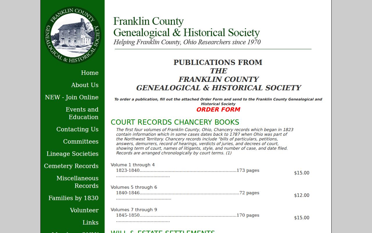
Pair a cemetery or historic repository lead with a confirmed property period, not with a modern adjacency result alone.
Madison Township Neighbor Records at City Lines
Madison Township is a county subdivision with overlapping postal and municipal labels. The Auditor’s tax-district example uses MADISON TWP EXC CW GRVP OBTZ PICK, a reminder to check the Township and City/Village fields before choosing a local custodian. The township says Franklin County handles zoning and building matters in unincorporated territory, while Groveport and Canal Winchester addresses go to their city departments. Groveport and Obetz issue both zoning-compliance and building permits according to the county building page.
That split can affect which office has a location record. A postal label cannot settle it, and neither can a broad map view. First use the parcel’s jurisdiction fields, then contact the county or city that holds the particular record. Madison Township administrative material can be sought through its public-records channel under R.C. 149.43, but township-created records do not replace county deeds, tax records, or election records.
Madison Township Neighbors and Privacy Limits
Official records and commercial neighbor tools serve different purposes. County parcel and Recorder systems state the source and limits of their records, while a commercial category can merge data of uncertain age or origin. Neither category turns an address into permission to contact or watch a person. For a block question, the official parcel path is narrower and more verifiable: select the parcel, read the property fields, and confirm a recorded document only when needed.
| Official block records | Commercial neighbor tools |
|---|---|
| Show source-specific parcel, mapping, or recorded-document data that can be checked with the custodian. | May combine information without establishing its current accuracy, source, or relationship to a particular parcel. |
| Use a focal parcel, legal description, or documented party and preserve the record’s limits. | Do not treat a compiled result as proof of household presence or as a reason to make contact. |
Ohio safeguards address and identifying information in several systems. Safe at Home participants have protected address information, public voter displays omit defined protected material, and motor-vehicle data is not a general address-search fallback. Do not seek to reconstruct protected details from property, map, or document results.
Lawful use. Madison Township neighbor records may support a limited property, history, civic, or personal question. They do not permit stalking, threats, repeated unwanted messages, or trespass, which Ohio law addresses in R.C. 2903.211, R.C. 2917.21, and R.C. 2911.211.